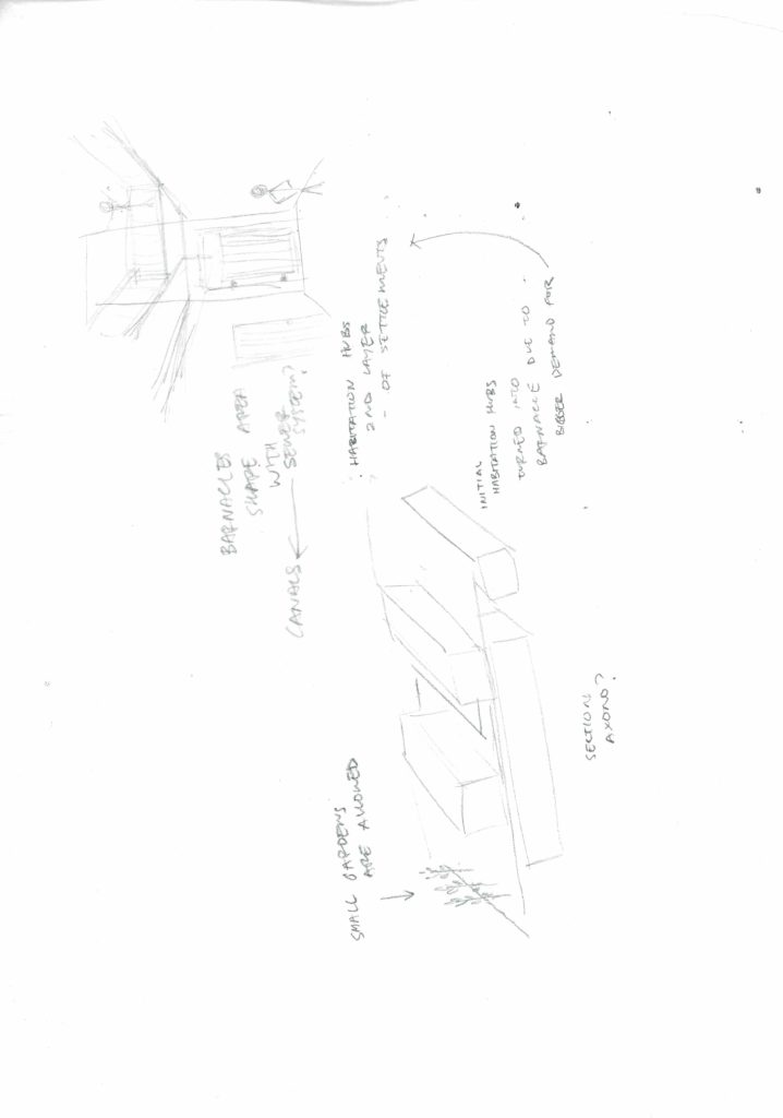
We, Robot World Map and Illustrations

Gamebooks

initial sketches

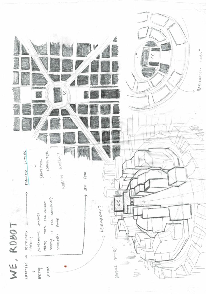
initial sketches include most of the notable settings listed in the We, Robot gamebook under the category of “Wayfinding”

I’ve been trying to lay out my interpretation of the world map by including bodies of water/vegetation and green spaces if there are any and how i would think the city is laid out (city centers, which part of the city is planned and which parts are organic urban growth and settlement etc.)

ive also taken assumed there are parts of the city that was from the pre-robot era, if that is okay! i thought it would make sense for there to be a pre-existing settlement before the central computer was “switched on” and everyone started to live around it.

ive also tried to use some old half made unused 3d model to try and make some parts of offgrid settlements

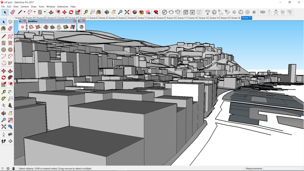
i dabbled in it just to see if it was a viable way of going about the final illustrations of the map and environment.

overall ive been trying to layout the world map and stitching together all the sketches and edits to hopefully bring a coherent map by our next meeting! (though it wouldnt be the most pretty).

ill post the progress of the map as soon as theyre all together and clear